The route
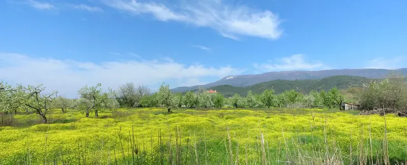
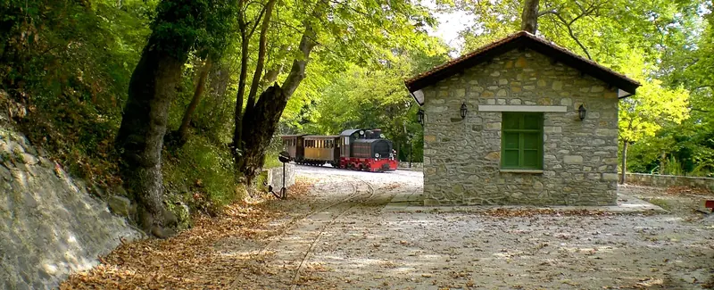
I had in my mind a journey of about 100 km, with beautiful landscapes, mountains and sea, fast, without much traffic and spread of elevation ... I had no trouble at all finding it. I started from Kato Gatzea towards Ano Lechonia and the train station did right, began there and first and biggest climb of the route that without realizing reached 670 m altitude. As I climbed the road with closed hairpin bends the view downwards was becoming nice - the port of Volos, the island of Trikeri, while opposite were Mount Tissaio and the islands of Evia and Skiathos. I arrived in Aghios Giorgios and as I started to go downhill, the scenery was entirely mountainous with rich vegetation, streams and villages with traditional Pelion architecture. The road passes through Pinakates Vyzitsa and Milies and begin to ascend again for 5 kilometers. The slope is gentle and on the right unfolds an uninhabited area with a forest of myrtle and strawberry trees and the Panagiotiko reservoir. The uphill finishes with a straight stretch and I arrived at the intersection called the "Horeftra" (dancer) by the locals, because of the strong winds that blow there. I was in the saddle between the Aegean sea and the Pagasitikos gulf. I made a right and I took the small but very fast downhill before Neohori. I passed Neohori and turned left at the Argalasti intersection. The next 10 km was a nice slope and gently swings through the low hills that divide the Pelion with Tissaio.
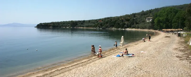
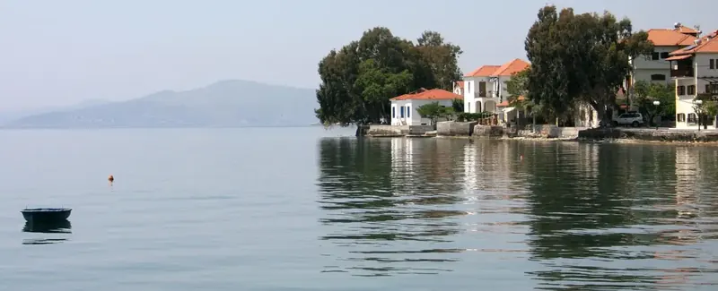
Argalasti is a large village of South Pelion with about 1500 inhabitants, it is lofty and of interest, not only for the natural beauty of the area and dozens of nearby beaches, but also for its multiculturalism, since the inhabitants of the village and surrounding area are from every part of planet, and continually holds cultural and artistic events. After Argalasti at the intersection I make a left turn go for Metohi and Lafkos, two equally beautiful lofty villages in the style of Argalasti. Then I descended to Milina; the road leading there is very nice with open and fast corners, but as the view does not allow high speeds, I preferred to go slower and see this unique mixture of land and sea, giving the illusion that of lake and fjord. I went back to sea level and passed Milina’s taverns and cafes, then Horto and began to climb again to Argalasti, the circle closed again and followed in the opposite direction the 10 km that I had done prior to the intersection of Argalasti.
The sun had started to set as I descended to the village of Afetes, the clouds had become red and a full moon had risen. The downhill was ending and now that I write and re-live the journey, these last seven kilometers were the nicest downhill riding, especially when the horizon is bright red and legs rested for downhill after a journey of so many kilometers.
Ultimately the goal of 100 km wasn’t reached, I made 92 km, not from lack of strength or inclination but simply the lack of road and daylight. The night had fallen and the circle had closed.