The route
This is the second, lower route between Agios Georgios and Tsagarada, passing from Kourventeli ridge above the village of Vizitsa at 1070 m. (the other route reaches maximum altitude of 1460 m. at the plateau of Mega Isoma). During its second and third part, we walk into cool and shady beech forest, so it is also suitable for hot summer days, provided we start early. We can return to Agios Georgios by taxi (tel. 6944718863, cost about 40 euros). Alternatively, we can take the bus from Tsagarada to Volos and get off at Kato Gatzea but in that case we would have to walk an extra 5,7 km to get from Kato Gatzea to Agios Georgios in the morning (see the walk Agios Georgios-Kato Gatzea).
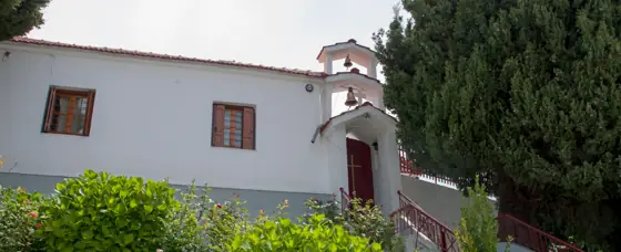
Starting off from the fountain at Agios Georgios village square, we climb on the cobbled stone path (kalderimi). We pass by the church of Agios Athanasios and continue climbing steadily on kalderimi, which becomes an earth path after exiting the village. We cross a concrete irrigation ditch to the right, noticing the handmade signs posted here by the late Dimitris Kottalis, just as in many other spots along our route.
Further on, the path joins an earth road and we reach a triple junction, where on the right lies the restaurant-horse farm ''Paliovigla''. We take the downhill road to the left and pass the stream of Lagoussa. Iimmediately after this, we find the path on the left. It passes next to a grove and a hut and enters an earth road, which we follow. Reaching a junction we go left uphill. As the road takes a sharp left turn, we find the path straight ahead amongst dense shrub vegetation. We find some kalderimi parts on our way and, after crossing Kakoskali stream, our path opens out to an earth road and we continue uphill. At a V-junction we take the road to the right and reach a round water tank collecting the water from Klidonari spring. After the tank we continue on path, cross the Vassilikis stream and then join another earth road heading uphill into beech forest. Another road joins in from the left (that route is coming from the Eastern Refuge).
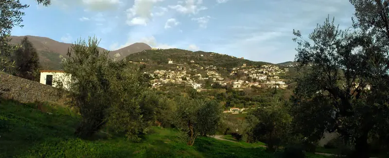
Walking now on the ridge called Kourventeli, located above the village of Vizitsa, and watching constantly on our left, at some point we notice the red marks that sign the path heading to an easterly direction into the forest.
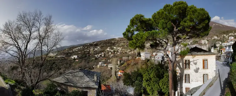
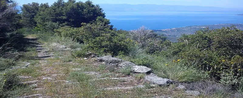
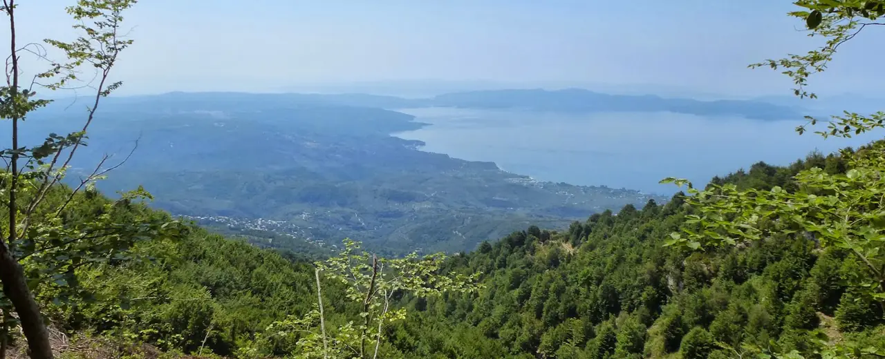
After a while we come out on a downhill earth road and walk by a kiosk. We soon notice a sign to the left and enter the path again. We cross Miliotiko stream walking on a stretch of well preserved kalderimi, wishing it would never end. From certain spots we enjoy a beautiful view over Pagasitikos gulf.
This long stretch of path ends as it comes out to a downhill earth road next to a kiosk. This road ultimately comes from the village of Ksourichti. We pass by a shrine on our way and further down, as the main road turns right (attention), we continue straight ahead on a narrow road in a northerly direction. We soon notice the signed path on the left, with stretches of kalderimi, that leads down to the bed of the large Milopotamos stream. Very close to the bed lies Katsakari spring. Water is led through pipes down below to Tsagarada.
We cross the stream and continue on earth road into chestnut forest. Further down we join a wider earth road and follow it downhill. On a sharp right turn (attention) we leave it to the left and find the path going downhill, then walk aside a cottage`s fence and come out again on the road. In a few meters, reaching a ruined stone hut, we go right on a road-kalderimi and then left at a V-junction next to a concrete water tank, noticing the red arrow.
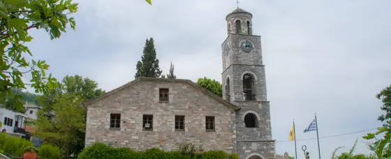
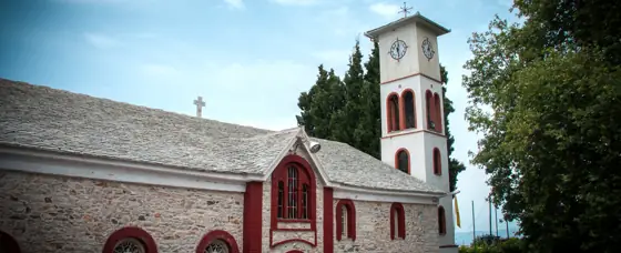
The narrow road we are walking on, eventually turns into a proper kalderimi, opening to the main asphalt of Tsagarada. We cross this diagonally to the right to find the kalderimi again and soon reach Taksiarchon square and church, with its characteristic quadruple drinking water fountain.
Route data kindly provided by walking-pelion.blogspot.gr in association with Volos Alpine Club and The Friends of the Kalderimi of South Pelion.