The route
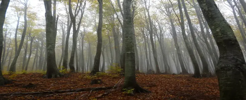
Having as a base the ski centre at Hania, this route will allow us to visit the nearest peaks, Agriolefkes, Golgothas and Schidzouravli, walking into dense beech forest.
Starting from the Orivatikos Alpine Club of Volos (EOS Volos) refuge at the ski center, it is best to climb first to Agriolefkes peak, following the pylons of the ski lift at the back of the building. Or, from the memorial of skier Pappas next to the refuge, we walk on the uphill dirt road heading east and, reaching the wide ski piste ''Panorama'', we follow this to the top, to the concrete pole marking the peak (1470 m.).
After admiring the view, we head on to the south and find a narrow path with red marks that climbs down the slope and reach a crossing, where another path joins in from the left. We will use this path to return to the refuge at the end. As for now, we continue straight on in a southerly direction to get to the clearing of Golgothas at an altitude of 1428 m. A few years ago two F-16 combat planes crashed here, killing their pilots. We can still find small metallic debris if we look around.
We continue downhill southeast. After passing a signed crossing to Agios Lavrentios to the right and yet another one to Agios Georgios, we cross a narrow dirt road. The area here is called Monastiraki. On the other side of the road there are two paths. The left one, marked with blue paint, continues slightly downhill to Lakka Morogianni and Ftiritsa. We take the right one, which has red marks and climbs steadily east heading to Dramala. But after a little while we leave the path to the right, following the marks, and climb steeply on a steep narrow track. This was created by hikers in order to reach Schidzouravli peak, as there was no established path going there in the past, because of its rocky nature. Remember that these paths primarily used to serve lumberjacks carrying wood and charcoal by mules.
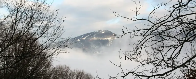
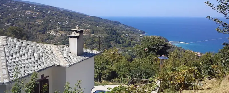
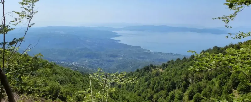
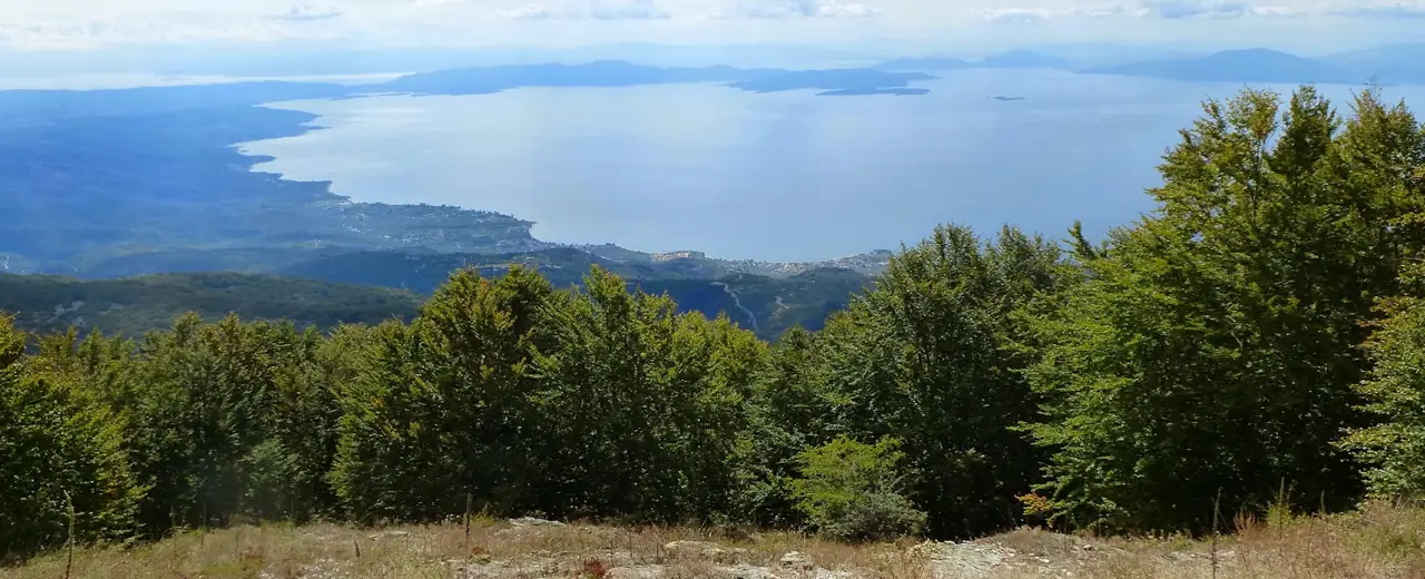
Reaching the rocky top, we continue east to get to the concrete pole at the highest point (1450 m.). The view from here is magnificent. To the north, we see Pourianos Stavros peak housing army telecommunication buildings, and more westerly Pliasidi, Aidonaki and Agriolefkes peaks. Further on, if the sky is clear, we can see Kissavos, Olympus and Athos mountains. Turning south, we see Dirfis mountain of Evia and west, Othrys, Parnassus and Pindus. The Pagasitic Gulf and the Aegean Sea with the North Sporades islands (Skiathos, Skopelos, Alonnisos) complete the picture.
After getting enough of this natural beauty, a hard task to achieve, we continue to the east following the red marks and find ourselves again in beech forest. Walking steadily in an easterly direction towards Dramala peak, in about 15 minutes we reach a crossing and start going downhill turning right (southwest). This path used to serve those going from Dramala to Agios Georgios.
Further down, we reach a forest road just next to the abandoned pen of Koutsis. A few meters on to the right, the road exits from beech forest to an open space overgrown with ferns. This is called Kathreftis. We could follow this road in order to return, but it is much better and also a shorter distance to take instead a narrow path, which goes uphill between the ferns. The beginning of the path is marked with a signpost indicating to ''Chania''. Walking on, we enjoy excellent views of Pagasiticos gulf down below.
After a while, the path opens out to the road again and we soon return to the junction at Monastiraki, where we turn left, taking the path leading back to Golgothas. Struggling as we climb uphill, we get an idea why such a name was given to this spot. After Golgothas, we get to the crossing where the uphill path to Agriolefkes is on the left. Now we elect to go right, avoiding to climb to the peak, and our path opens to the wide ski track. At the other side and a little lower, we find the dirt road that leads us back to the refuge.
Route data kindly provided by walking-pelion.blogspot.gr in association with Volos Alpine Club and The Friends of the Kalderimi of South Pelion.