The route
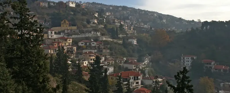
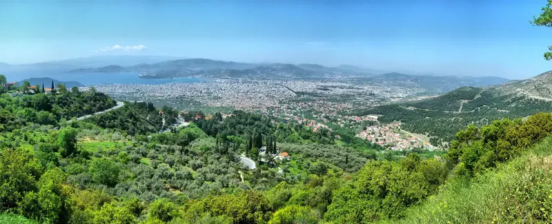
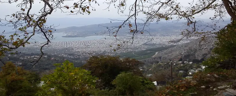
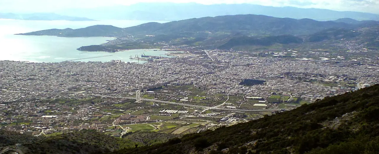
The area of Fitoko previously belonged to the community of Makrinitsa. Although this route passes over mostly stony ground with low vegetation, we are compensated by the panoramic views towards Makrinitsa-Portaria, Volos and Pagasetic Gulf, as far as Sesklo and Kapourna. Walking is not recommended for hot days with strong sunshine, as there is hardly any shade, but is particularly suitable for winter. It is a good idea to carry secateurs or a small saw as the vegetation near Fitoko and Klima can be very thick in places. We can go to Fitoko by car or taxi and return from Makrinitsa by bus.
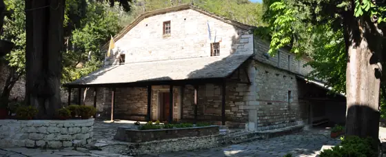
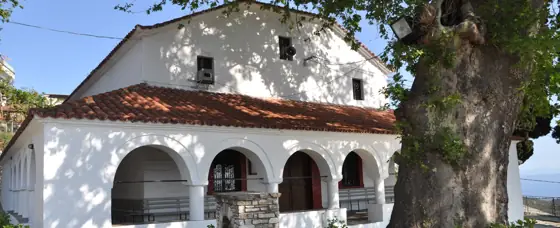
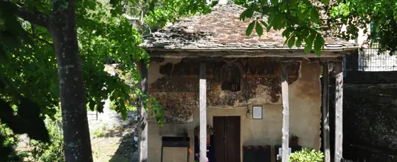
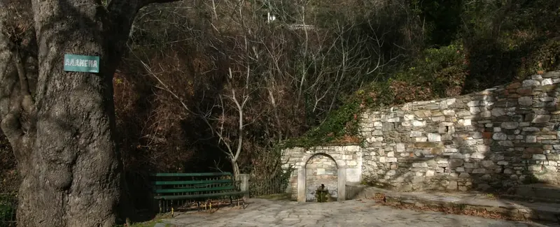
We can start out from the parking lot at the main church of Panagia (the Virgin Mary) at Fitoko. A narrow asphalt road leading to the houses of the village starts by a shrine near the entrance of the parking area and we immediately turn left off this on an earth road that leads down towards a small ravine. We pass by a spring water drinking fountain (with no water) and turn left at the bottom into a narrower road with a chain across it. A few metres before the road ends at a fence, there is an obvious and fairly wide path to our left that zigzags uphill. For a short distance, our progress is hindered by prickly pears and brambles before we reach an old spring water drinking fountain with a small stretch of kalderimi. A little further up, the path emerges onto an earth road which we follow up to the right. Another road goes off to the left, but we continue straight ahead. Further up at a T junction we turn right, then right again at the next junction and up to the left at the following junction (watch for the red marks).
In a short while we see the path on the left of the road, but it is closed by vegetation and we walk next to it on a parallel path through an olive grove. Further on, just below a house, the path continues up a little to the right of this and comes out diagonally onto an earth road which we follow to the right. About a hundred metres further on, after passing a small hut, we see red marks which lead us upwards on a path that runs to the left of a fenced off piece of land. The bushes narrow the path, which shows signs of kalderimi, and further on a water channel running in the path for a short distance also slows us down.
We reach a ridge and the kalderimi/path begins to descend towards a fairly large ravine (Vathirema). Electric power lines and the road going to the Kaliakouda and Ksirakia springs can be seen along the opposite side. We cross the ravine, ascend, cross the road and continue up a narrow road that leads a few metres further up to a cement structure for the water supply tank. We continue, walking now on the dry, stony ridge of Sarakinos with an unrestricted view below. From time to time we see signs of kalderimi. The ascent becomes less steep and we walk for a while on a clear path on level ground before we begin to descend towards Makrinitsa.
On the elevation is a cross and memorial to those who died in the battle of Makrinitsa in 1878 during the Turkish occupation.
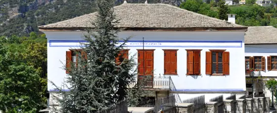
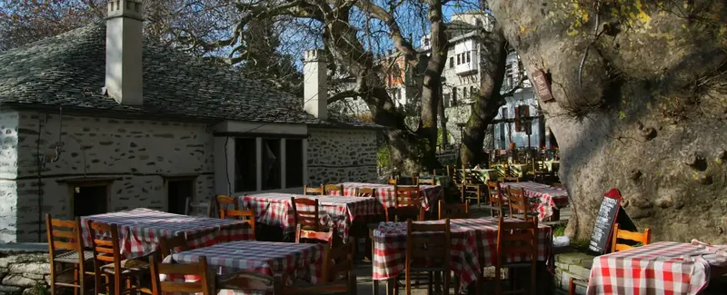
Descending, we reach the stone arched bridge over the stream of Patosia and then the path brings us to an old fountain with no water. We continue straight ahead and shortly turn left onto a kalderimi that takes us past the beautiful restored mansion that houses the Environmental Education Centre. We come out into the main square of Makrinitsa, right next to the kalderimi that goes down to Volos.
Route data kindly provided by walking-pelion.blogspot.gr in association with Volos Alpine Club and The Friends of the Kalderimi of South Pelion.