The route
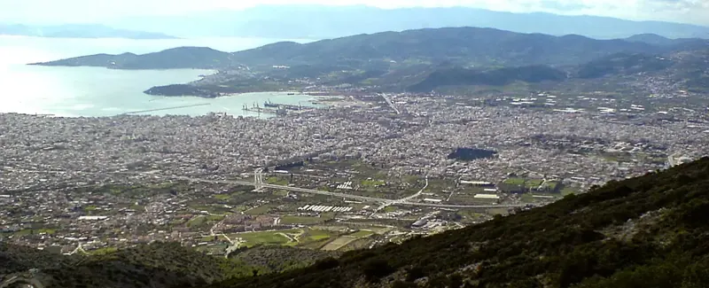
This used to be the shortest route from Volos to Pouri, 5 hours by mule. It also is the highest trail one can walk in Pelion mountain, reaching a maximum altitude of almost 1600 meters. Following the construction of military radars at Pourianos Stavros in the late 60`s, the peak became a restricted military zone and the trail was abandoned. Over the last years though, guarding is less strict than it used to be. Anyway, this particular route avoids the installations at the top, bypassing them from the east, in order to keep away from any trouble.
Warning: Do not attempt to walk on this route without prior permission from the Air Force authorities (call +302421076180), otherwise there is a risk of being arrested, because the area around the top remains a restricted military zone.
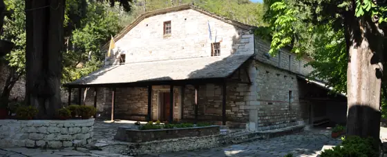
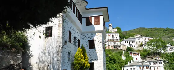
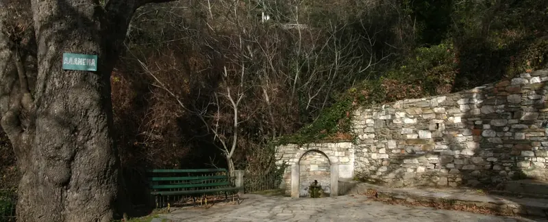
Entering Brani parking lot in Makrinitsa, at the end of the asphalt road, we see on our right a kalderimi (cobblestone path) heading uphill. A sign indicating to “Pouri” can be seen on a tree. It was made on a volunteer basis, along with many others, by the late Pelion hiker, Dimitris Kottalis. One can also start from the fountain in the parking. The kalderimi winds uphill among the village houses, passing by a lone pine tree next to a bench and two fountains and eventually opens to a narrow dirt road, which leads us to the old monastery of Agia Paraskevi.
Having enjoyed a refreshing stop at that tranquil spot and filling our water supplies from the fountain, we continue uphill on dirt road. After a right turn we find the path on our left. It soon opens to another dirt road turning right to an end. We continue on path with cobblestone sections, climbing into chestnut forest.
We cross an earth road and further up turn left on another road. Watching on our right side, after about 30 m. we find the path again, climbing among chestnut trees. Further up, we walk parallel to a water ditch, noticing another handmade sign to “Pouri”. Passing next to a water tank, we enter a secondary dirt road, which after a few meters joins the main dirt road coming from Makrinitsa. The location here is called Trano Isoma. We continue to the left and in twenty meters reach a junction next to a concrete ditch. The downhill road leads to Makrinitsa-Profitis Elias chapel and Karia stone bridge.We go right, heading northeast on a straight uphill road, passing next to apple tree orchards.
Further up, we find a marble signplate on the left, commemorating the construction of the irrigation ditch in 1938 to bring water from Flambouro spring. After a while the ditch turns right, entering into the beech forest. A few meters on, we turn right too, following the path which is marked with red marks, just like in the entire trail.
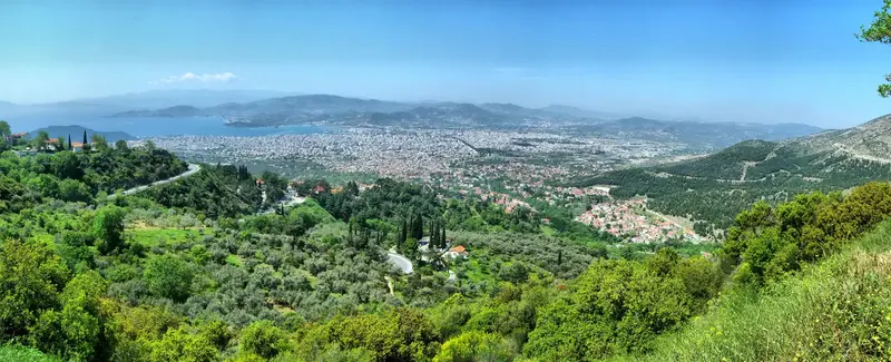
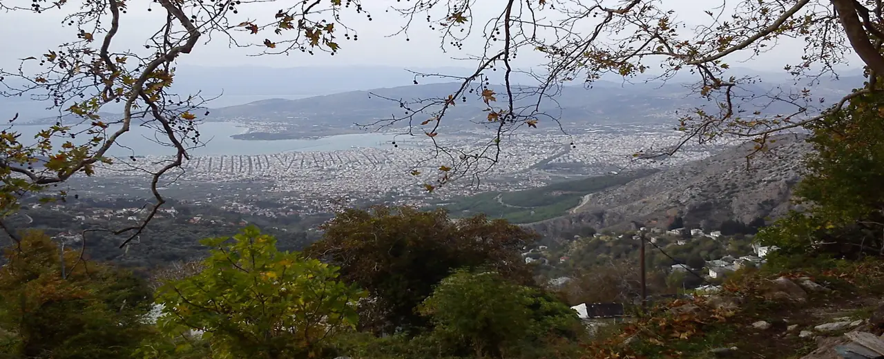
From a certain point, we have a magnificent distant view of lake Karla to the west. Our course is to the east and after crossing a stream we continue northeast onto a marvellous path. Eventually, we join a dirt road which soon leads us to the bed of Kaliakouda stream.
Walking into the wide riverbed, after about four hundred meters the concrete ditch takes a turn from our right side and comes to end at Flambouro spring on the left. There we find the path again and start climbing a rocky slope.
Walking on the ridge steadily uphill, we come up to an open space, having an excellent view to the east and south. On our left to the east we see Kotroni peak (1550 m.) and to the south peaks Aidonaki (1537 m.) with the telecommunications antenna tower and Pliasidi (1547 m.) with antennas as well, Kokkini Rachi and Rachi Giftou (1340 m.). If the weather allows, a stop here is mandatory.
A few meters up, we join a narrow abandoned road and go right. Fifty meters on, it joins a wide earth road, (which to the left goes to the western Refuge) and in another fifty meters we reach the asphalt from Hania leading to the radars at Pourianos Stavros peak. After six hundred meters uphill on the asphalt, as the road takes a sharp left turn just under the radars, we go right on a dirt road. After another six hundred meters, on a left turn, we find the path with the red marks crossing the road and head downhill. From this point on, it`s a steady downhill walk until we reach Pouri village.In a few meters, we reach another excellent spot with an even broader view. We can see Agriolefkes peak (1470 m.) featuring ski tracks, and behind it Schidzouravli (1450 m.) and Dramala (1455 m.) fading beautifully into the Aegean. Another mandatory stop to enjoy Pelion`s inexhaustible beauty here.
We continue downhill into dense beech forest walking on the ridge called Kseforti, heading northeast. The path is clear and well marked all along. At some points parallel routes arise, meeting again shortly. Further down, we cross a road (which to the left comes to end at the hunters` hut in Kanalakia area, connecting to the Makrinitsa-West Refuge-Pouri and Makrinitsa-Lagonika-Pouri trails) and then cross another road that heads to Agia Marina chapel. We pass through a clearing locating a concrete pole (1103 m) and further down come across a second clearing on the right.
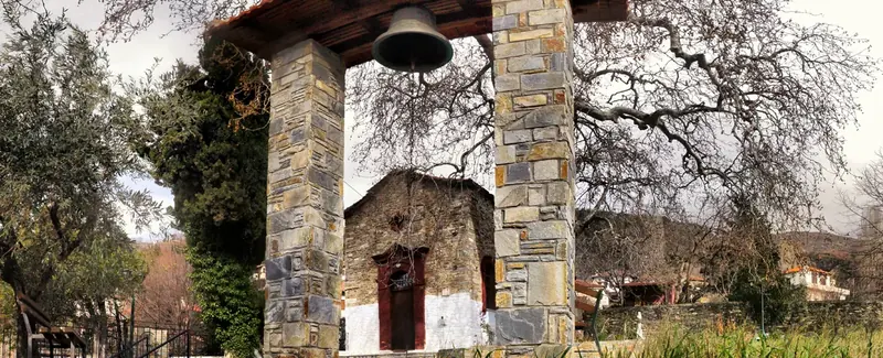
Eventually, after crossing another road, the path opens on the upper side of Agia Marina chapel, next to the open tank that collects water coming by a concrete ditch. The church was built over a century ago, following permission to use water from Lagonika spring being allowed by its owners to the community of Pouri in 1891, a highly significant event for the village at the time. Water then happened to arrive at the spot on the nameday of St. (Agia) Marina, on the 17th of July.
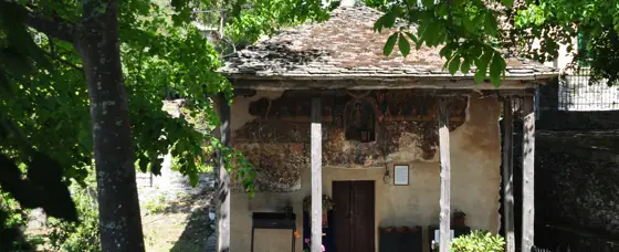
We continue following the concrete ditch on the right side of the church and reach another open water tank. Walking on a dirt road, we meet a signpost at the junction with the main path to Pouri on the left. It`s a wide downhill path heading northeast, crossing twice a dirt road (we ignore two junctions with paths on the left), passing next to an apple tree orchard on the left and, reaching another apple orchard on our right, it continues straight down towards Pouri. At that point, if we elect to go right into the orchard, we can visit Profitis Elias chapel, a minor detour well worth the trouble.
In this particular walk, we followed an alternative southern route to visit Profitis Elias. Instead of entering the path at the signpost, we continued on the road and further on we turned right at a junction marked with red marks. This road in two hundred meters reaching an orchard takes a sharp left turn, crosses a stream and ends. A narrow but visible and marked path continues straight ahead, descending in chestnut forest.
The path opens to the apple tree orchard mentioned earlier and becomes a narrow earth road. Reaching a signed junction, fifty meters away from the main path which passes at the left (northern) side of the ochard, we turn right and soon find ourselves at Profitis Elias chapel, next to a wooden kiosk. This location offers an excellent view to the villages of Zagora, Chorefto, Anilio and Mouresi, from the Sporades Islands and the Agean Sea down below, up to the overgrown peaks of Kotroni and Pourianos Stavros.
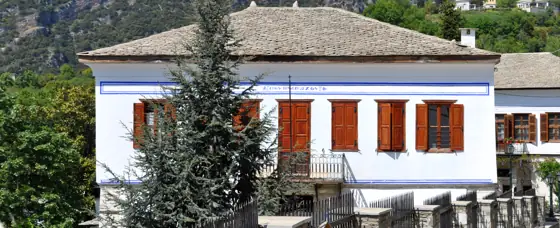
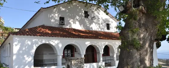
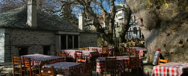
Going down the road from Profitis Elias, we pass next to orchards and then find easily the path again to the right, which opens to another earth road further down. Reaching a concrete water tank at the end of the road, we go right over a concrete ditch and immediately find the kalderimi, leading to the village central (upper) square, to the main church of Agios Dimitrios.
Route data kindly provided by walking-pelion.blogspot.gr in association with Volos Alpine Club and The Friends of the Kalderimi of South Pelion.